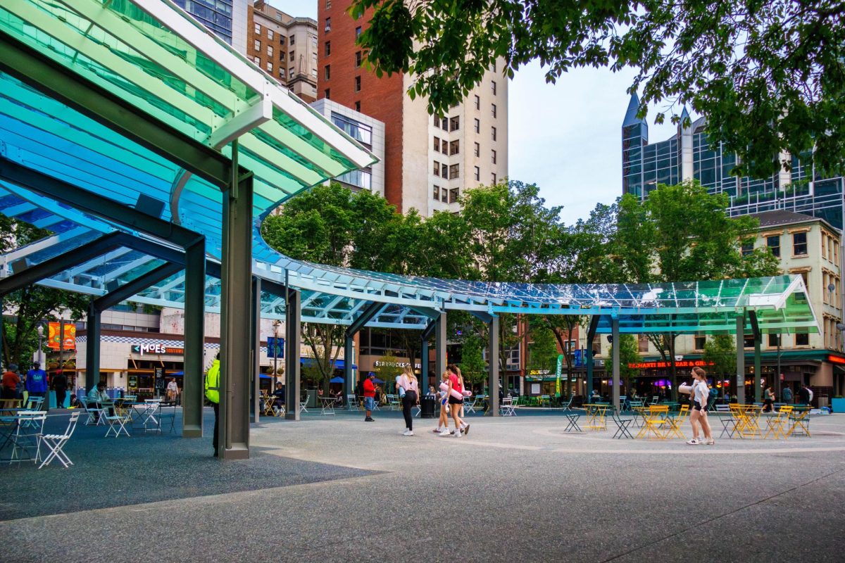


Despite incoming service cuts, Pittsburgh Regional Transit (PRT) still has a multitude of routes serving Downtown that are useful for Point Park students getting around Pittsburgh.
Just how to do that, though, can be a bit confusing; especially for those entirely unfamiliar with public transport. It is important, though, as buses are among the more eco-friendly ways of getting around, and increasing ridership can encourage future funding of local transit programs.
Living Downtown is also an advantage for the transit-pilled, as most major routes to surrounding neighborhoods run through it.
Prior to catching the bus, ensure your U-Pass is activated by downloading the PRT Ready2Ride app and signing in with your Point Park email. It eliminates the cost of fare and is covered by tuition.
First, students should familiarize themselves with Transit,a Montréal-based mobile app that is among the best public transport route finders.
It’s free by opting out of its “Royale” premium service, which doesn’t do much beyond offering slightly improved vehicle tracking and full route schedules. Route schedules can be found for free on PRT’s website, and certain stations for major routes usually have kiosks that track arrival times.
You should begin planning out which route you plan on taking at least an hour in advance of when you anticipate arriving at your destination, just to be safe.
After opening Transit, type your destination into the search bar that says “Where to?” in the middle of your screen.
A list of routes should appear offering the best options to get to your chosen destination, along with when you should anticipate leaving to catch the ride. Arrival and departure times aren’t always completely accurate, so it’s usually best to leave at least a few minutes prior to when the app says.
The most important tip for riding the bus is to stand on the correct side of the street. Traffic should be flowing in the direction you want to go, as buses do not cross the street lines.
In the case of someone heading to Point Park, the “inbound” side of traffic goes Downtown. The “outbound” side goes to the destination listed on the bus’s LED signs (i.e. Highland Park). A voice over a speaker on the bus will usually say if it is heading Downtown.
Before the bus arrives, ensure you are standing a visible and safe distance from the road next to the stop so the driver knows you want to get on. Flagging them down by waving can help, as well.
Activate the ticket on your Ready2Ride app and show the QR code to the scanner on your right. Once it beeps, you are good to ride.
If you are someone without a physical disability, try to sit or stand as far back on the bus as possible. Seating towards the front is reserved for the elderly and people with disabilities.
When you are approaching your desired stop, pull the yellow string or press the red “STOP” button next to the back exit doors to request a stop.
As far as routes go, the 71B and 61A-through-C will take you through Oakland and other neighborhoods beyond there. When returning to Point Park, ensure you do not take the 61D or the 71A, C or D, as those do not serve Downtown. These routes arrive and depart roughly every 10 minutes on weekdays and are good introductions to riding the bus.
The P1 goes in the same direction, but takes the East Busway over to Swissvale. It’s best for getting to Shadyside and East Liberty, the latter of which has grocery stores with more options than our Downtown Target, such as Trader Joes and ALDI. All East Busway routes return to Downtown.
East Carson Street on the South Side is served by the 51 and 48, with the 51 arriving more frequently. Each takes riders a decent chunk of the way down East Carson Street, servicing most of the major clubs, bars and restaurants that are closer to Downtown. They also get decently close to South Side’s ALDI.
It should be noted that routes are reduced on weekends and late at night, so plan accordingly.
It’s not fast by any means, but the “T” light rail system can be useful in a pinch.
All lines serve underground stations on Wood Street, the Steel Plaza and the Gateway Center, as well as an above-ground station on First Avenue by the Terminal. A Subway Local route also services Station Square before returning Downtown and through the North Shore.
All lines also serve North Side and Allegheny stations, which are useful both for watching Pittsburgh sports and getting cheaper parking if you are a commuter. Riding between all of these aforementioned stops is completely free, as well, and doesn’t require U-Pass.
Beyond that, the three colored Red, Blue and Silver lines each reach a decent way past Mount Washington.
These routes require fare, which can be covered by scanners on-board the train. The “T” accepts the same digital passes as the bus.
The inclines offer stunning views of Downtown’s skyline and are completely free with U-Pass.
There are two different inclines that offer slightly different experiences: the Duquesne and the Monongahela. The Duquesne is a single-level car and the Monongahela is a three-tier car.
The Duquesne incline can be accessed by crossing the Fort Pitt Bridge or by taking a bus. Scan your U-Pass at the scanner within the bottom-level station and you’re good to ride.
The Monongahela Incline can be accessed by taking the “T” or by crossing the Smithfield Street Bridge. You scan your U-Pass at the top station right before exiting to Mount Washington.
Feel free to email below with any questions.